


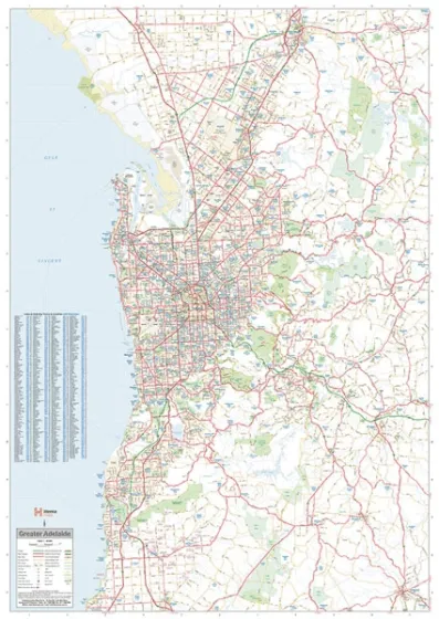
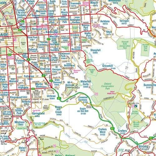
This Greater Adelaide Map by Hema covers the area from Gawler Belt in the north down to Willunga in the south and out to Charleston in the east.
It features all major and secondary roads and shows the met roads, national and state route numbers as well as present and future freeways.
This easy-to-read map makes a great wall map for business planning as it shows all the postcodes and includes a suburb index.
The map covers from Strathalbyn in the south-east to Gawler in the north.


")


